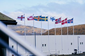
Maps of the Nordic Region
Through spatial analysis, harmonised data, and careful cartographic design, the maps show how places function, change, and connect across the Nordic Region.
The aim is to turn complex information into clear insights for researchers, policymakers, and the public. Transparent methods and consistent classification enable reliable regional comparisons and clear communication of territorial patterns and dynamics.
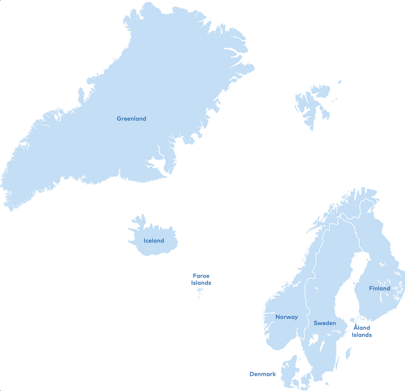
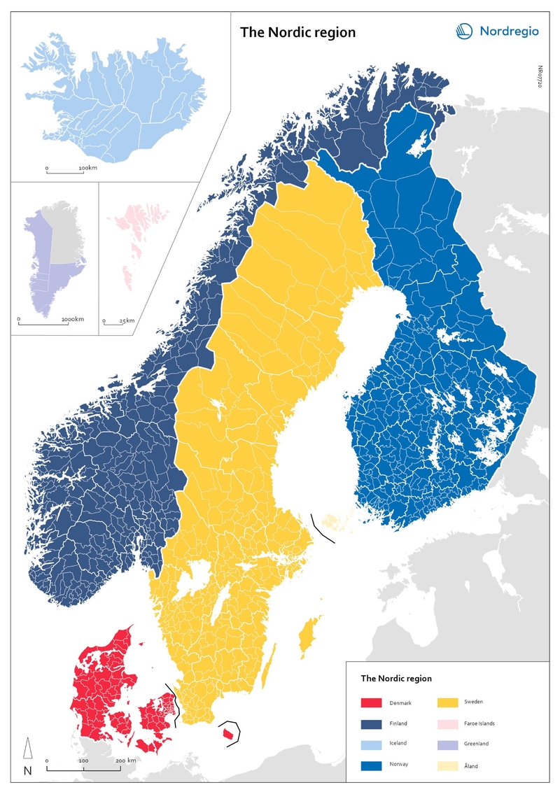
The Nordic Region
Available here is a map of the Nordic Region that illustrates national, regional, and municipal boundaries. Below is also a small selection of examples that demonstrate how maps are used by Nordregio to analyse and communicate developments across the region.
All Nordregio maps are available online and are organised into thirteen research categories. They can be filtered by geography and year to support exploration and comparison. Nordregio maps are free to use, provided that the Nordregio logo is clearly visible and the source is cited accordingly. Please also credit the cartographer, designer, or author, and give full recognition to all data sources named in the graphic.