About Åland

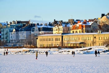
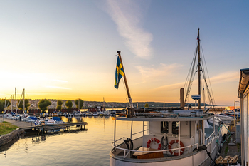
Åland’s largest island is Fasta Åland, where the capital Mariehamn is located. West of Åland lies the Sea of Åland, a waterway between Roslagen in Sweden and Åland. To the east, the Åland archipelago borders the Åboland archipelago in Finland.
Politics in Åland
Although Åland is part of the Republic of Finland, it has its own autonomous parliament. In areas where Åland has its own legislation, the group of islands essentially operates as an independent nation.
Åland is a demilitarised and neutral zone. The Ålandic Parliament, the Lagting, is the highest authority.
Åland is a member of the EU and its currency is the euro, but Åland’s relationship with the EU is regulated by way of a special protocol. In order to maintain the important sale of duty-free goods on ferries operating between Finland and Sweden, Åland is not part of the EU’s VAT area.
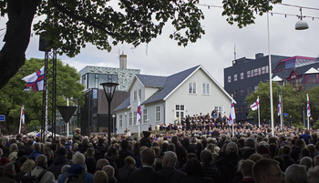
- National day: 9 June (to celebrate the day Åland gained self-governance on 9 June 1922)
- Form of government: Home rule, within the Republic of Finland
- Parliament: Lagting (30 members)
- Member of the EU: Since 1 January 1995 (doesn’t belong to the EU VAT area)
- Member of NATO: No
- Head of state (March 2024): President Alexander Stubb
- Premier: Katrin Sjögren
Population
With around 30.000 inhabitants, Åland has the smallest population of the three autonomous territories in the Nordic Region. One third of the population lives in the capital Mariehamn. The official language of Åland is Swedish.
- Population in 2025: 30,654
- Population of the capital in 2025: 11,866 Mariehamn (municipality)
Population development in Åland
Economy
Important sources of income for Åland are shipping and ferry services, tourism, and the processing of agricultural and fishery products.
- GDP per capita: €36,200 (2020)
- Currency: Euro
Geography
The Åland archipelago boasts cliffs and heathlands, and there are large areas of coniferous forests. Roughly 9% of Åland is cultivable.
- Total area: 1,581 km²
- Lakes and streams: 27 km²
- Land area: 1,553 km²
- Arable land and horticulture: 140 km²
- Forests: 937 km²
- Largest lake: Eastern and Western Kyrksundet 2.6 km2
- Highest point: Orrdalsklint 129 m
- Borders: 0.5 km (border with Sweden at Märket lighthouse)
Climate and environment
Åland has a temperate climate with significant rainfall.
- Precipitation in Mariehamn (2006): 546 mm
- Average temperature in Jomala (2020): 8.5°C (max. 29.1°C, min. -10.9°C)
Average temperature in Mariehamn
Languages of Åland
The official language of Åland is Swedish, whereas Finland has two official languages – Finnish and Swedish. In practice, many Ålanders can speak Finnish to varying degrees, but far from all of them.
- Official language: Swedish
Interested in moving to Åland?
If you are interested in moving to Åland, contact Info Norden, the Nordic Council of Ministers’ information service.
Do you want to know more about Åland and the other Nordic countries?
The report State of the Nordic Region is published every two years and provides a comprehensive and unique insight into the Nordic countries. It’s based on the latest statistical data on demographics, the labour market, education and the economy in the Nordic Region.
Interested in more statistics?
We have collated relevant Nordic data and statistics in the Nordic Statistics database. The database covers multiple areas and all of the Nordic countries.