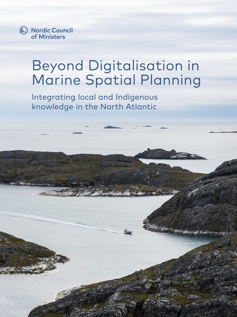
Beyond Digitalisation in Marine Spatial Planning
Integrating local and Indigenous knowledge in the North Atlantic
Information
Utgivningsdatum
Beskrivning
This report explores if digitally driven marine spatial planning can be designed differently to strengthen local representation throughout the entire process. Marine spatial planning is undergoing a transformation in the North Atlantic countries. Digital tools and data are becoming central to how decisions are made about ocean space and use. This determines who can fish and where, where energy infrastructure is built and which areas should be protected. But digital tools and data alone cannot capture the full picture of marine environments or how they are used. Knowledge that is experiential, relational and deeply tied to specific places, seasons and relationships is just as important. And this is where Indigenous and local knowledge play a central role.
Publikationsnummer
2026:519